Good for
- Travelers who want culture, mountains and Sahara in one continuous road narrative.
- Collectors who value kasbah, oasis and Amazigh landscapes as much as driving.
- Drivers comfortable with longer intercity days and heat-aware planning.
Route guide
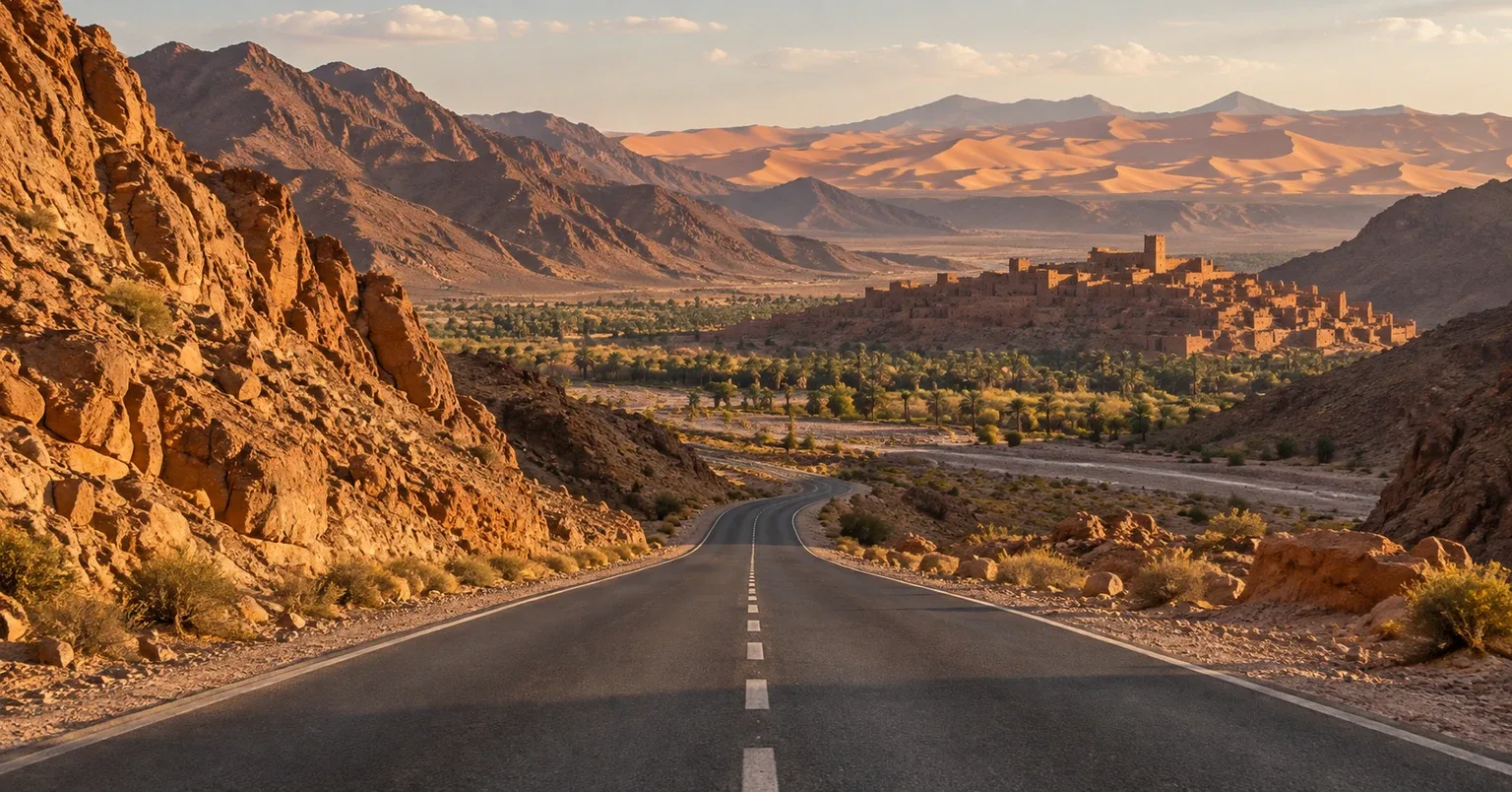
Morocco Atlas to Sahara is deliberately bounded as Marrakech to Merzouga through the source-supported Great South corridor, not a vague 'Morocco road trip'. The Moroccan National Tourist Office links Marrakech with the Ouarzazate-Zagora-Tinghir region and then Errachidia-Midelt-Merzouga, while its current desert guide explicitly connects Aït Ben Haddou, Ouarzazate, Skoura, Rissani and Merzouga. Six days is a workable minimum; seven or eight better fits mountain, kasbah and desert pacing.
See the route snapshotRoute snapshot
Fit check
Use these tradeoffs before booking accommodation into a fixed sequence.
Trip length
Trip length is treated as a planning choice, not a single magic number.
Minimum
A focused one-way cultural-to-desert trip with one night in each major region and limited optional excursions.
Recommended
Best first completion, giving the Atlas crossing, Ouarzazate/kasbah region, gorge country and Merzouga each meaningful time.
Comfortable
Adds weather, heat and road margin while allowing a slower desert night and a less compressed High Atlas crossing.
Driving rhythm
Separate the paved Life List route from optional 4x4 or camel excursions in the dunes.
Use the High Atlas crossing as a full travel day with conservative timing and current-condition checks.
Allow the Ouarzazate, Dadès/Tinghir and Merzouga regions to function as destinations rather than roadside photo stops.
Vehicle choice
Suitability is separate from rental-company permission. Verify the booking terms for your exact vehicle.
Good fit
Suitable for the main paved corridor when current conditions are normal; keep desert-track excursions separate.
Useful, not required
Useful for comfort and some rough approaches, but rental permission and local track conditions must be checked separately.
Check restrictions
Needed only for specific off-pavement desert activities, not as a blanket requirement for the paved Marrakech-to-Merzouga Life List route.
Core itinerary
This is a realistic backbone, not a requirement to complete every attraction listed.
Day 1
Local · Cultural setup day
Overnight: Marrakech
Day 2
Approx. 194 km · High Atlas crossing
Overnight: Ouarzazate
Day 3
Approx. 170-200 km depending valley stops · Kasbah and valley day
Overnight: Dadès / Tinghir
Day 4
Approx. 190 km · Oasis transition
Overnight: Erfoud / Rissani
Day 5
Approx. 50-60 km · Short desert-arrival day
Overnight: Merzouga
Day 6
Local · Desert completion day
Overnight: Merzouga
Season decision
Conditions can change faster than an editorial page. Recheck official sources before departure.
Strong first-time window
Generally better temperatures for mountain and desert transitions, while pass weather still needs current checks.
Heat-intensive
Extreme heat can dominate desert planning; reduce midday exposure and avoid treating summer timing casually.
Strong shoulder season
Comfortable desert conditions are more likely, but mountain weather and flash-flood risk remain route-specific.
FAQ
No. RoadTrip Guide treats it as a tightly bounded source-supported touring corridor, using official Moroccan tourism itineraries rather than inventing a generic country-wide loop.
Not for the main paved corridor in normal conditions. A 4x4 may be appropriate for specific desert tracks or excursions, which should be treated separately from the road-trip route.
Six days can complete the one-way route, but seven is a stronger first plan and eight gives more margin for mountain weather, heat and a slower desert experience.
The trip crosses very different environments: High Atlas roads, valleys and desert approaches. Current mountain conditions, heat and local road information should override static itinerary assumptions.
Compare the road type
Do you want to complete a road whose name itself is part of travel history, even when the modern route is fragmented or takes longer than the fastest highway?
See the historic roads comparisonOfficial sources
Operational facts were reviewed on 2026-09-03. Road conditions, access, and winter requirements can change sooner.
Packing context
These are planning categories, not a shopping list. Choose equipment for the actual forecast, activity and vehicle plan.
Desert exposure can be intense even outside peak summer.
High Atlas and desert nights can be much cooler than daytime conditions.
Long dry-road sections reward carrying more water than a city itinerary would require.
Mountain and desert transitions should not depend on continuous mobile data.
RoadTrip Guide is part of Horizon Outdoor. No product or affiliate link is required for this guidance to be useful.