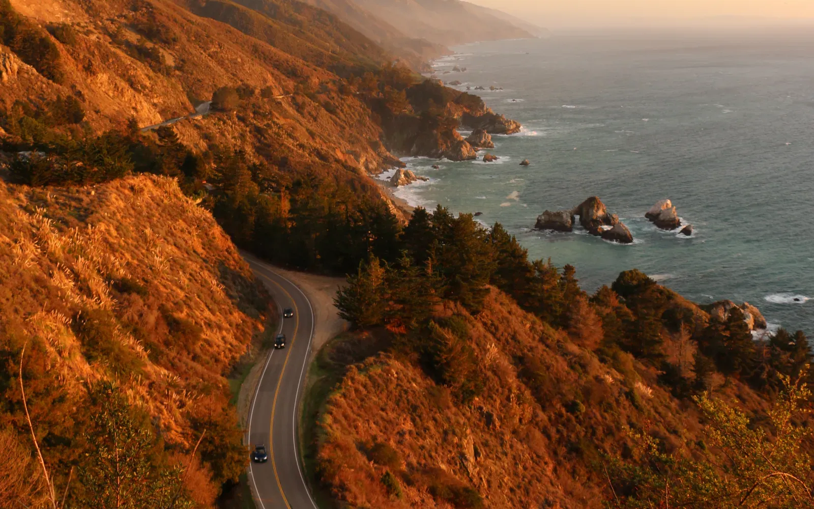
California / United States
California Highway 1: San Francisco to Los Angeles
A Pacific coast drive where direction, Big Sur access, viewpoint traffic, and unhurried overnight stops matter more than raw mileage.
Open the route guideComplete route index
16 starting routes, grouped by the driving reality that matters most. Every card shows enough practical context to rule a route in or out before deeper planning.
Find My Route
All filtering happens in this page from the published route registry. It does not query live road conditions or booking inventory.
Showing all 16 routes.
01 / 5 primary routes
Choose a sea-edge route by direction, stopping rhythm, parking pressure, and exposure to cliffs or wind.
Open the hub comparisonCalifornia / United States
A Pacific coast drive where direction, Big Sur access, viewpoint traffic, and unhurried overnight stops matter more than raw mileage.
Open the route guide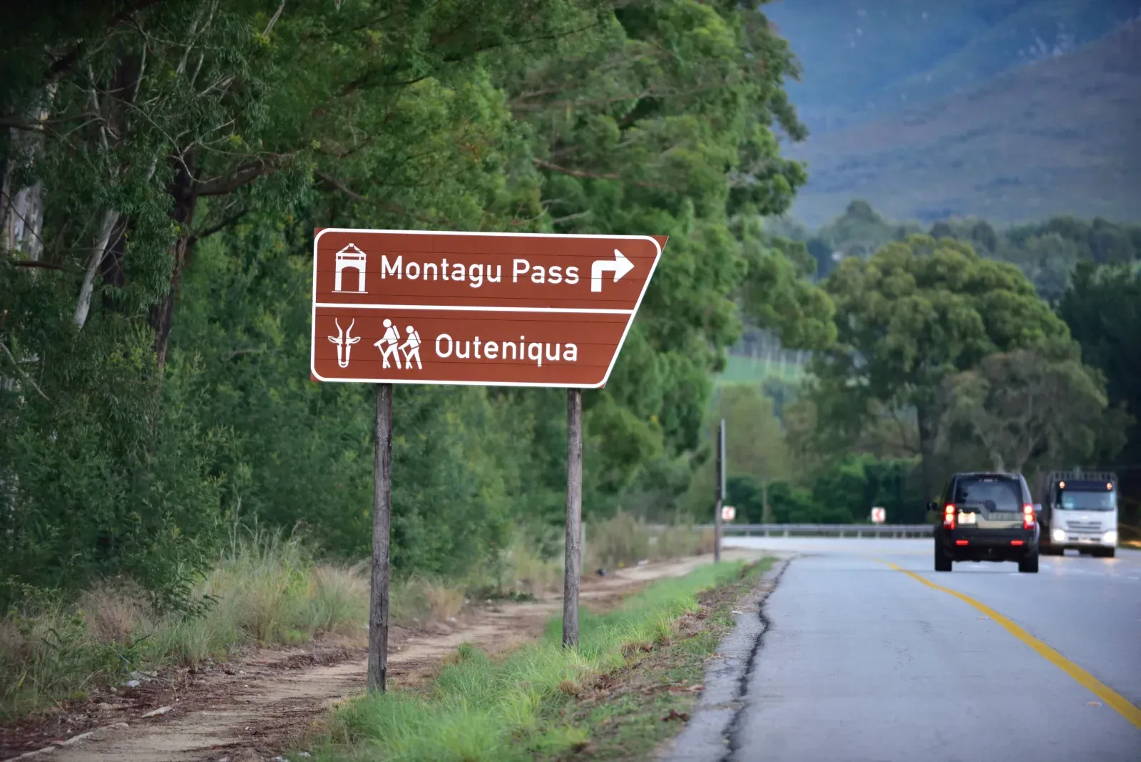
Western Cape / Eastern Cape / South Africa
A varied southern-coast journey that works best with time for the Winelands, forest walks, beaches, and wildlife stops beyond the main road.
Open the route guide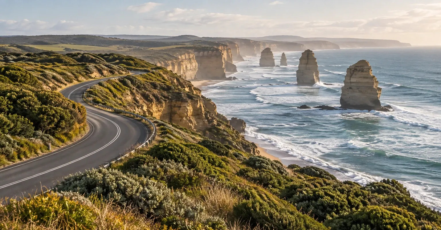
Victoria / Australia
Australia's signature coastal drive compresses surf towns, cliff roads, rainforest, wildlife, and the limestone stacks of the Shipwreck Coast into a short route that deserves several days rather than a rushed day trip.
Open the route guide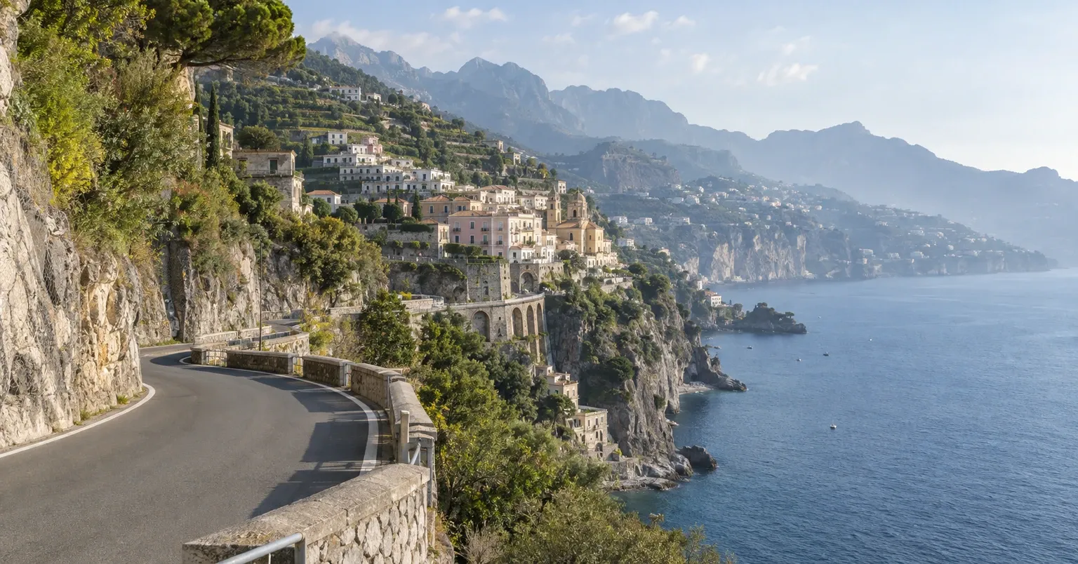
Campania / Italy
The Amalfi Drive earns Life List status through intensity rather than distance: a short cliff road of villages, blind bends, buses, scarce parking, sea views, and seasonal traffic controls where public transport can be the smarter choice on peak days.
Open the route guide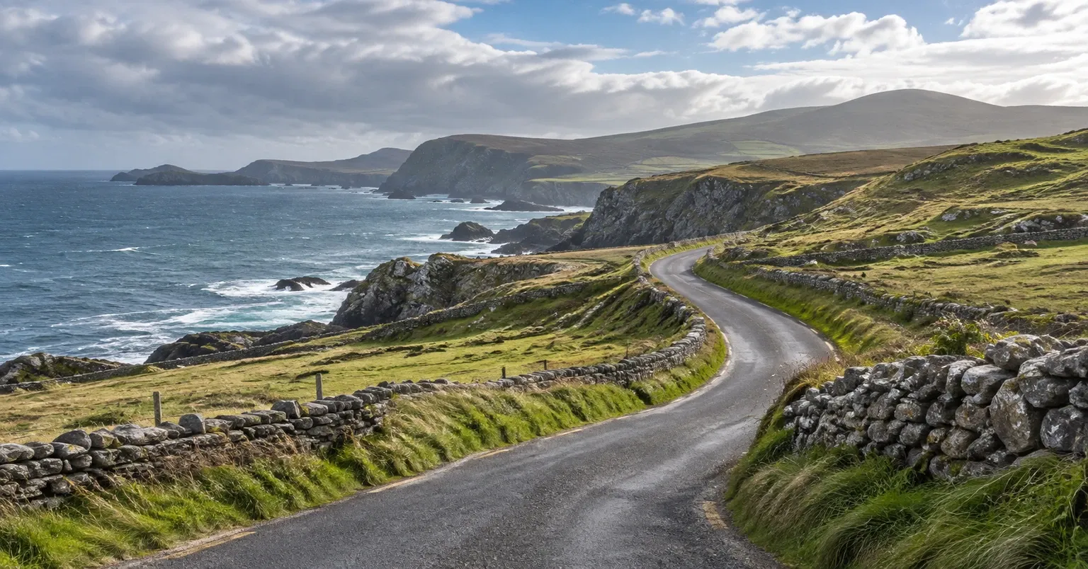
Donegal / Sligo / Mayo / Galway / Clare / Kerry / Cork / Ireland
Ireland's 2,500 km Atlantic touring route is a long-form coastal achievement where narrow local roads, weather, villages, peninsulas, and frequent scenic detours make 10 days a minimum and two weeks or more a stronger first plan.
Open the route guide02 / 2 primary routes
Compare loops by daily mileage, weather exposure, ferry dependence, fuel spacing, and the cost of changing direction.
Open the hub comparison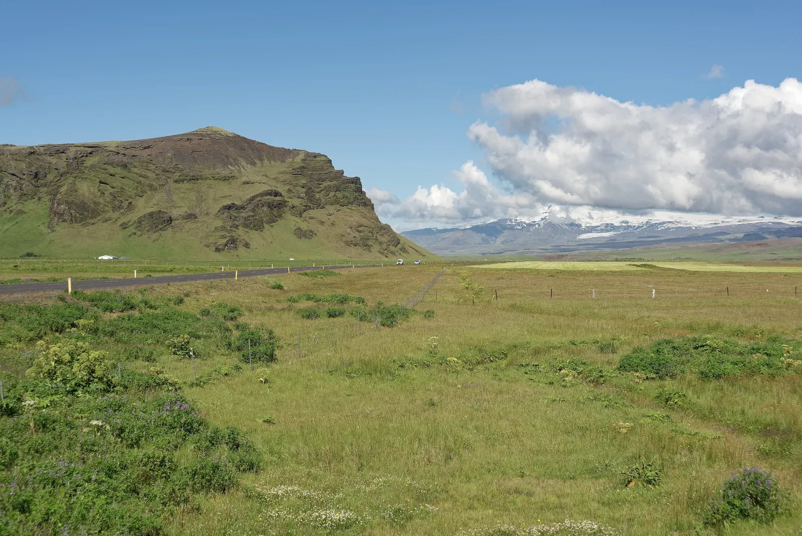
Iceland
A full-island circuit shaped by fast weather changes, long summer light, winter constraints, and the temptation to add too many side roads.
Open the route guide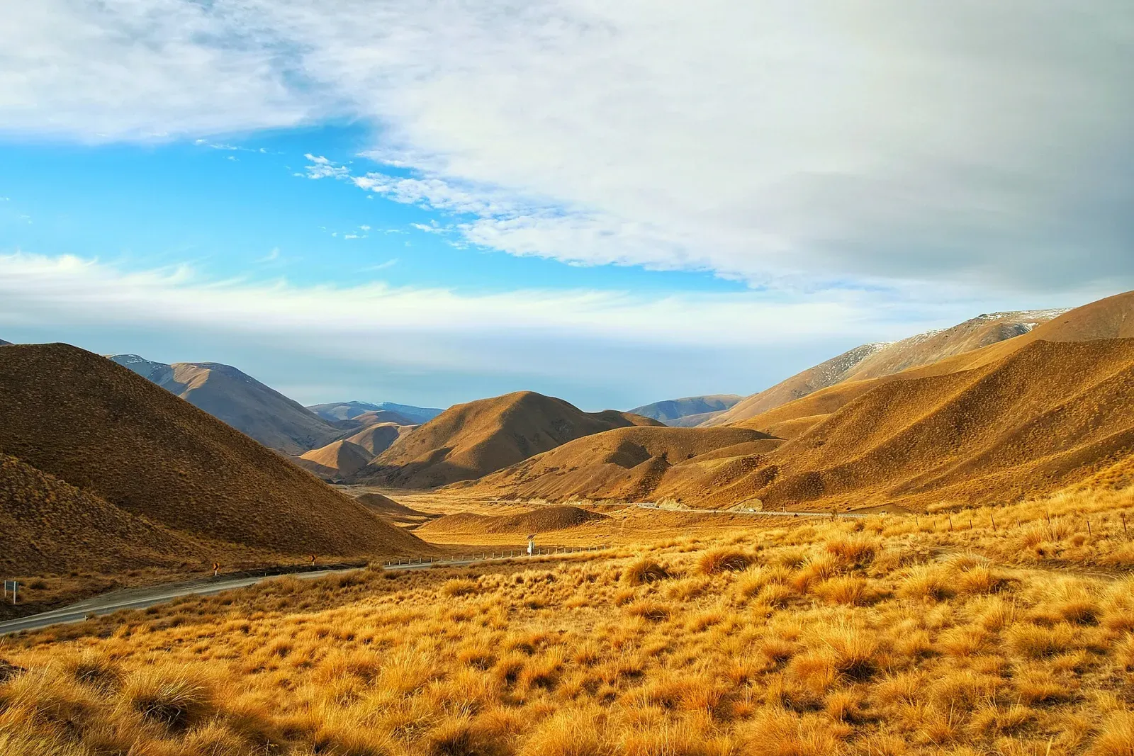
South Island / New Zealand
A high-reward circuit where ferries, alpine passes, one-lane bridges, weather, and frequent scenic stops make conservative daily distances worthwhile.
Open the route guide03 / 3 primary routes
Balance high passes and national-park scenery against permits, wildlife, seasonal access, and time on foot.
Open the hub comparison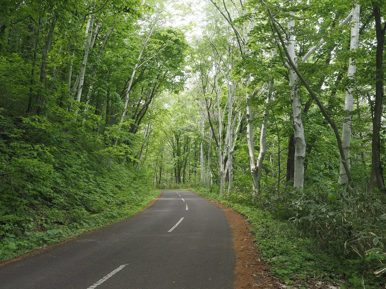
Hokkaido / Japan
A spacious northern-Japan loop connecting farm country, caldera lakes, coastal wetlands, and mountain passes over genuinely long distances.
Open the route guide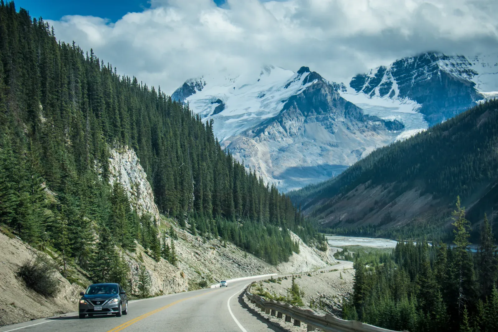
Alberta / Canada
A short mountain corridor that needs several days once trailheads, wildlife, limited services, and the pull of every glacier viewpoint are counted.
Open the route guide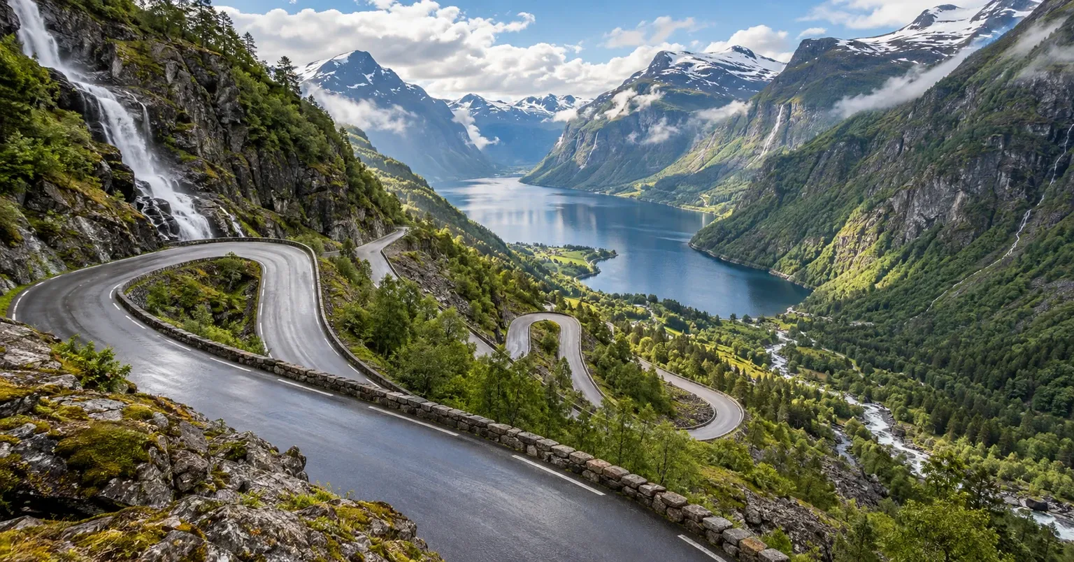
Møre og Romsdal / Western Norway / Norway
A 104 km official Norwegian Scenic Route combining fjord edges, one ferry crossing, high mountain roads, formal viewpoints and Trollstigen's eleven hairpin bends, with seasonal access as part of the planning challenge.
Open the route guide04 / 2 primary routes
Assess gravel, single-track etiquette, fuel range, ferry timing, signal gaps, and realistic fallback plans.
Open the hub comparison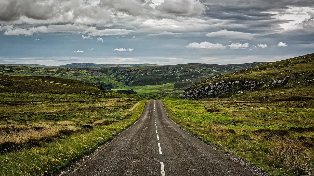
Scottish Highlands / United Kingdom
A compact Highlands circuit whose single-track roads, passing places, limited parking, and village rhythm reward patience over speed.
Open the route guide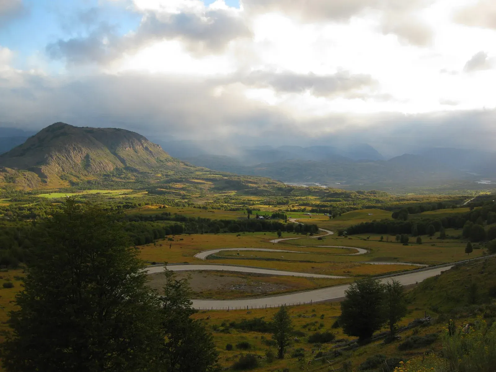
Northern Patagonia / Chile
A Patagonian road trip where gravel, ferries, rain, fuel spacing, and limited services make a flexible schedule part of the route itself.
Open the route guide05 / 4 primary routes
Collect roads whose identity comes from history, roadside culture, towns, architecture, and the story of the journey as much as scenery.
Open the hub comparison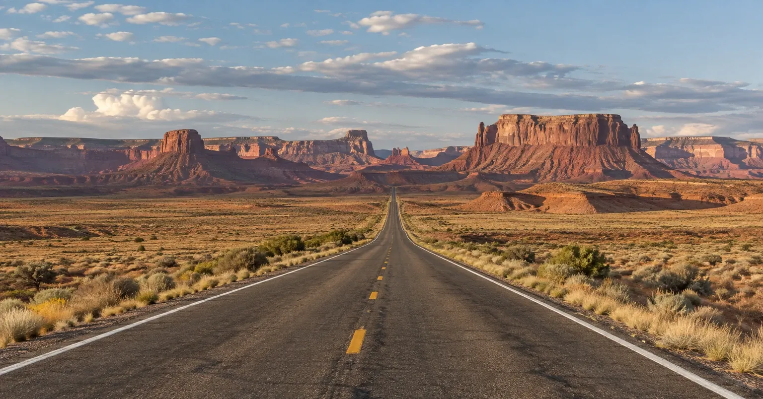
Illinois / Missouri / Kansas / Oklahoma / Texas / New Mexico / Arizona / California / United States
The Mother Road is a cultural highway achievement rather than one continuous modern route: travelers stitch together historic alignments, surviving main streets, desert sections, and roadside landmarks across eight states.
Open the route guide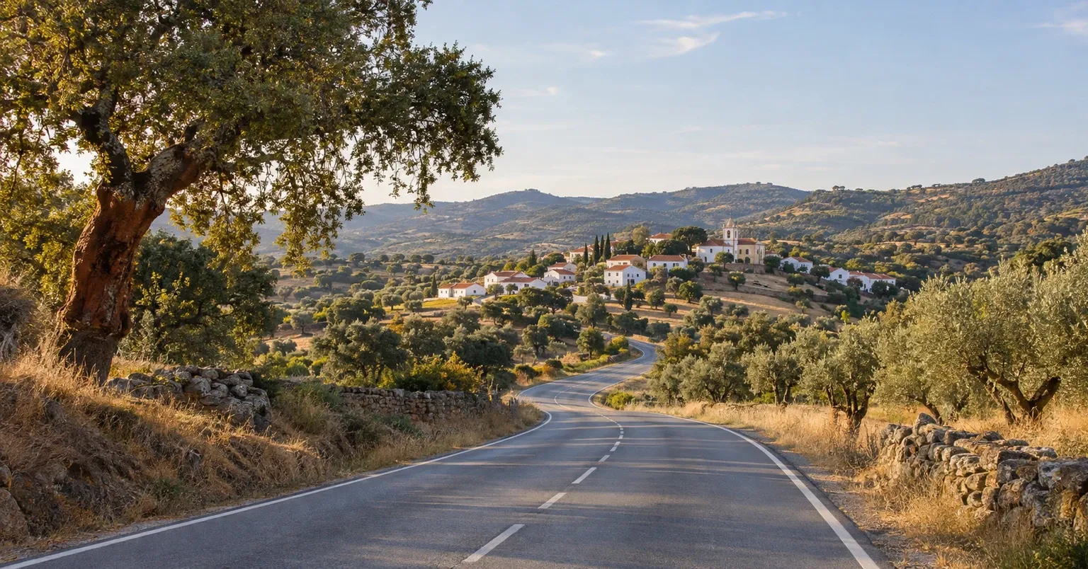
Portugal / Chaves / Central Portugal / Alentejo / Algarve
Portugal's 739 km N2 gives travelers a clear north-to-south objective: start at kilometre zero in Chaves, finish in Faro, and use the official passport stamps to structure the inland route.
Open the route guide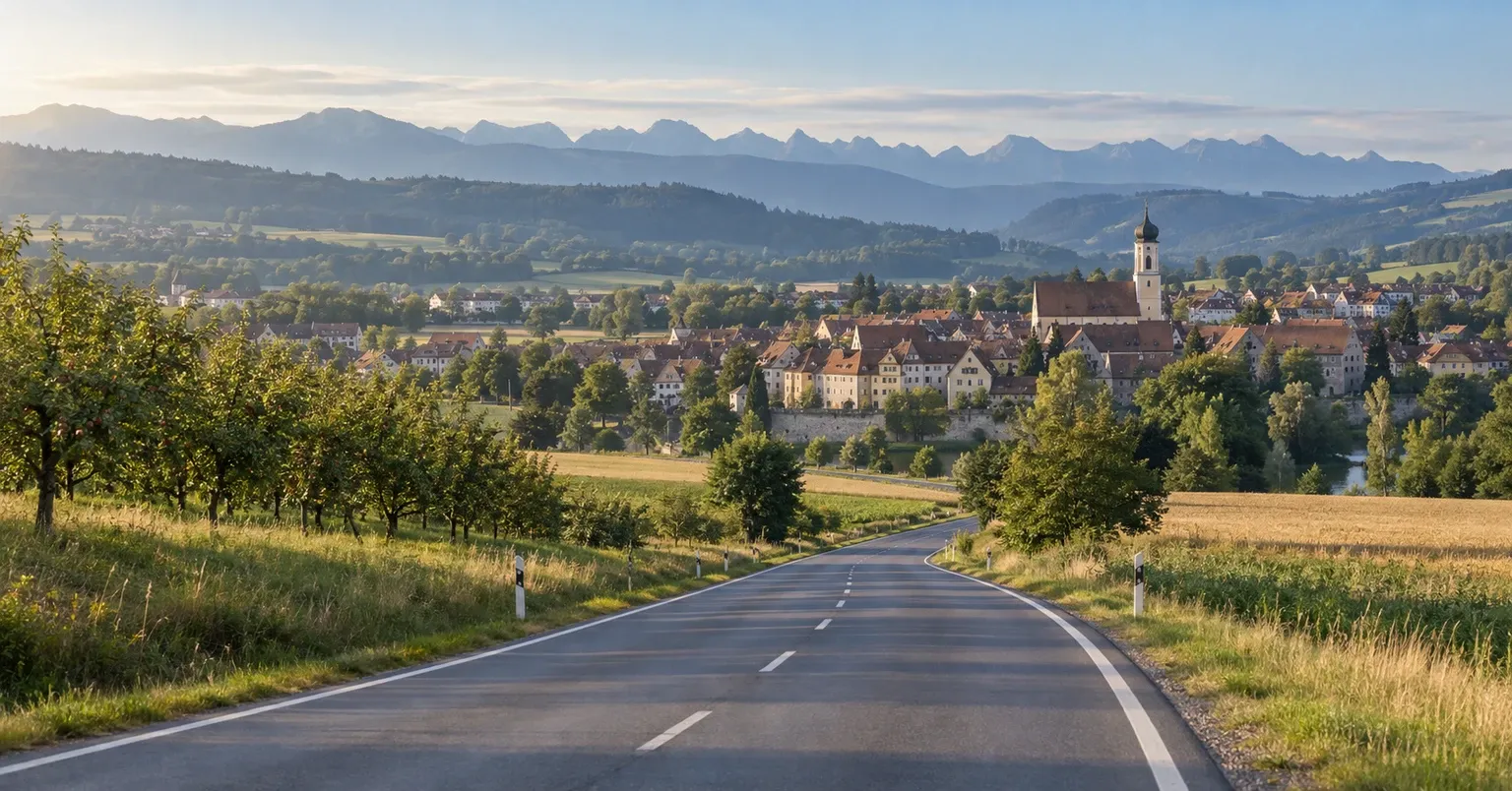
Bavaria / Baden-Württemberg / Germany
Germany's classic cultural touring route links Franconian wine country, Rothenburg, historic towns, the Ries landscape and the Alpine foothills on an approximately 400 km journey ending near Füssen.
Open the route guide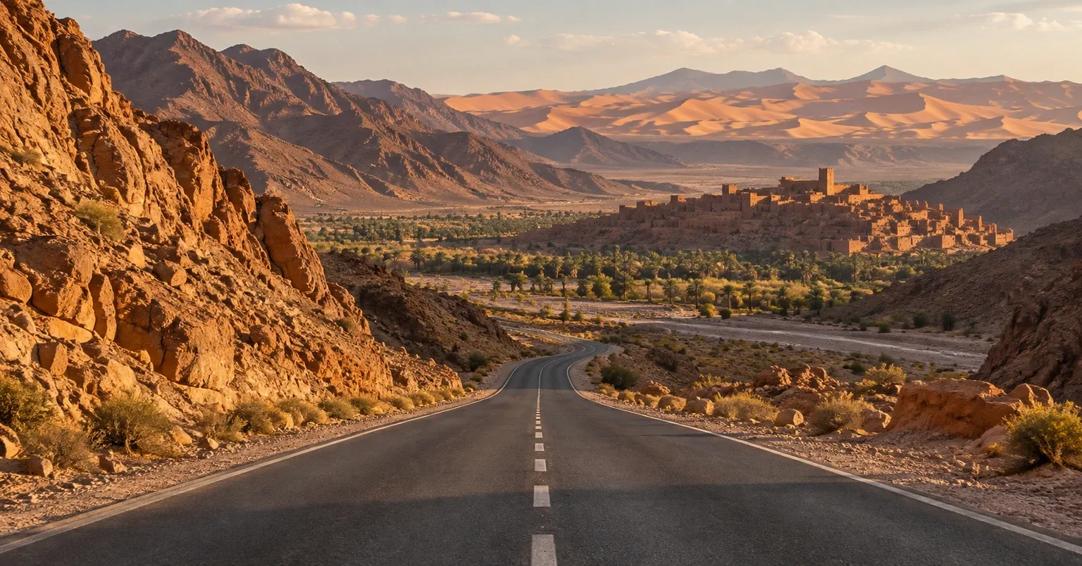
Marrakech / High Atlas / Ouarzazate / Tinghir / Errachidia / Merzouga / Morocco
A culture-to-desert road trip that crosses from Marrakech through the High Atlas and Ouarzazate region toward the kasbah, oasis and gorge landscapes of the Great South before reaching Merzouga's Sahara dunes.
Open the route guide