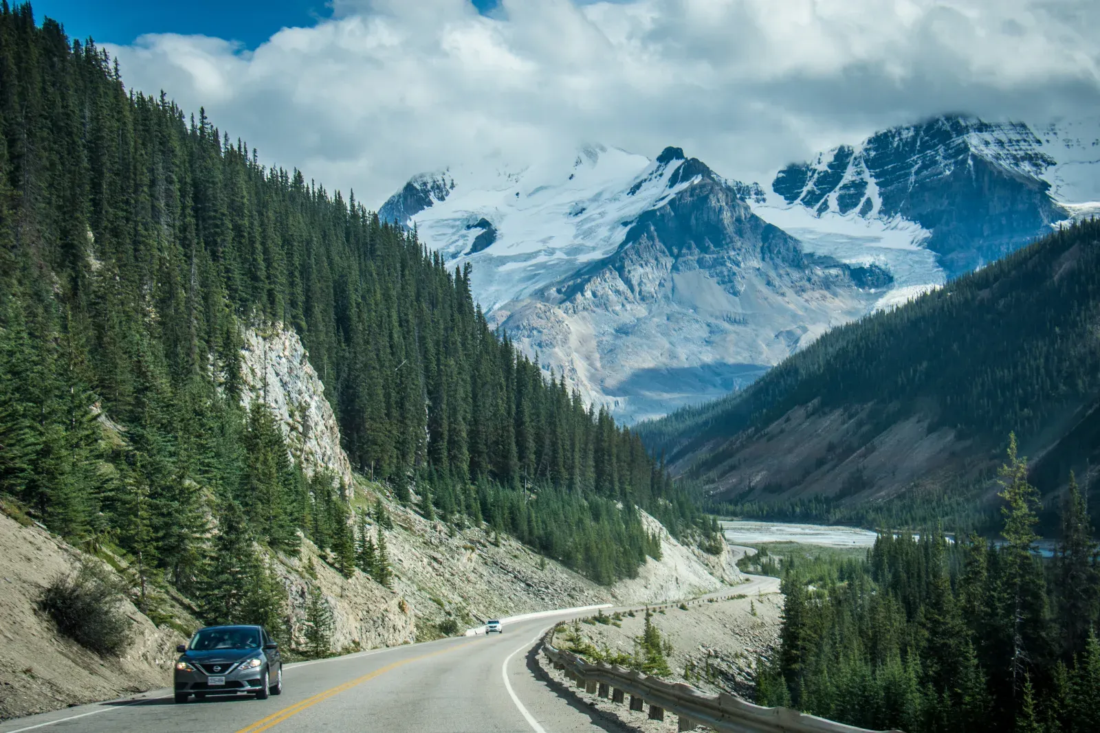
Alberta / Canada
Canadian Rockies: Banff to Jasper via the Icefields Parkway
A short mountain corridor that needs several days once trailheads, wildlife, limited services, and the pull of every glacier viewpoint are counted.
Open the route guide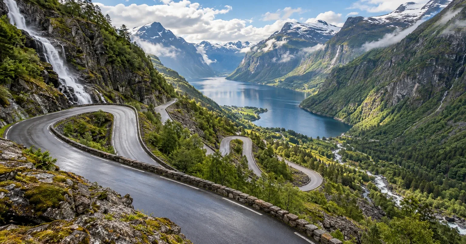
Mountain & Park Roads
On a mountain road, the drive and the time outside the vehicle compete for the same daylight. Choose which experience leads the day.
Compare the routesChoose the right shape
These are not interchangeable roads. Start with the constraint that changes your booking order.
Use a scenic pass day when the road itself is the main experience and you can keep stops selective. Use a nearby base when a walk, fjord visit or weather alternative is the real reason for traveling. The Icefields Parkway has long service gaps and park-based stops; Geiranger–Trollstigen combines a ferry with mountain-road access that can change. Verify road, ferry and park conditions at their official sources before booking a through-drive. A base can preserve a worthwhile trip when a pass is unavailable, but it is not a bypass around a closure.
| Route | Best fit | Limiting decision | Check first |
|---|---|---|---|
| Canadian Rockies: Banff to Jasper via the Icefields Parkway | Icefields Parkway drive with selected stops or Banff/Jasper-area stays | A long corridor with limited services leaves little room for a major hike and late onward drive | Parks Canada travel guidance and current road notices |
| Norwegian Scenic Route Geiranger–Trollstigen | Scenic-route stage or a Geiranger-area fjord base | A ferry and changing mountain access can alter the through-route | Norwegian Scenic Routes status and the current ferry operator |
Planning order
A route can stay flexible once the fixed constraints are understood.
If the principal aim is a trail or fjord visit, give it a base day. If viewpoints and the drive are enough, plan a selective through-stage.
Identify the service gap, ferry or mountain pass that can change the day. Do not position a non-refundable night beyond an unverified crossing.
Read current authority notices close to departure. If the road is unavailable, use a confirmed regional visit or revise the itinerary, never an unverified shortcut.
Route guides
Each route guide has its own itinerary, vehicle, season and official-source checks.
Alberta / Canada
A short mountain corridor that needs several days once trailheads, wildlife, limited services, and the pull of every glacier viewpoint are counted.
Open the route guide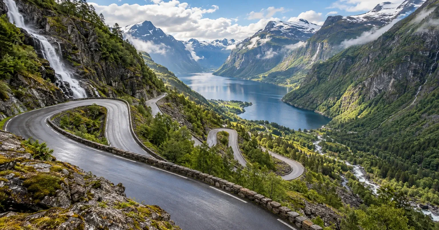
Møre og Romsdal / Western Norway / Norway
A 104 km official Norwegian Scenic Route combining fjord edges, one ferry crossing, high mountain roads, formal viewpoints and Trollstigen's eleven hairpin bends, with seasonal access as part of the planning challenge.
Open the route guideDecision guides
Common questions
Yes, if the goal is the drive with a limited number of stops and the current conditions permit it. A major hike deserves its own time and a realistic overnight plan.
No. Current road and ferry access must be checked independently. A fjord-area stay can still be useful even when a particular pass is unavailable.
No. These pages help shape the driving day and base. Check the relevant park authority for current entry, permits, trail and safety requirements.
Official references
Planning sources reviewed 2026-10-01; road conditions, ferry operations and access can change sooner.